- I have worked as a developer in Open Source GIS domain in multiple startups for the past 6 years and built many applications from scratch to production, managed teams, hired people and wore many other hats.
- Now I am volunteering at OSGeo, giving back to the community that has given me access to the global stage. I had the honor of working with companies from all over the world including Japan, Switzerland, Australia, and US.
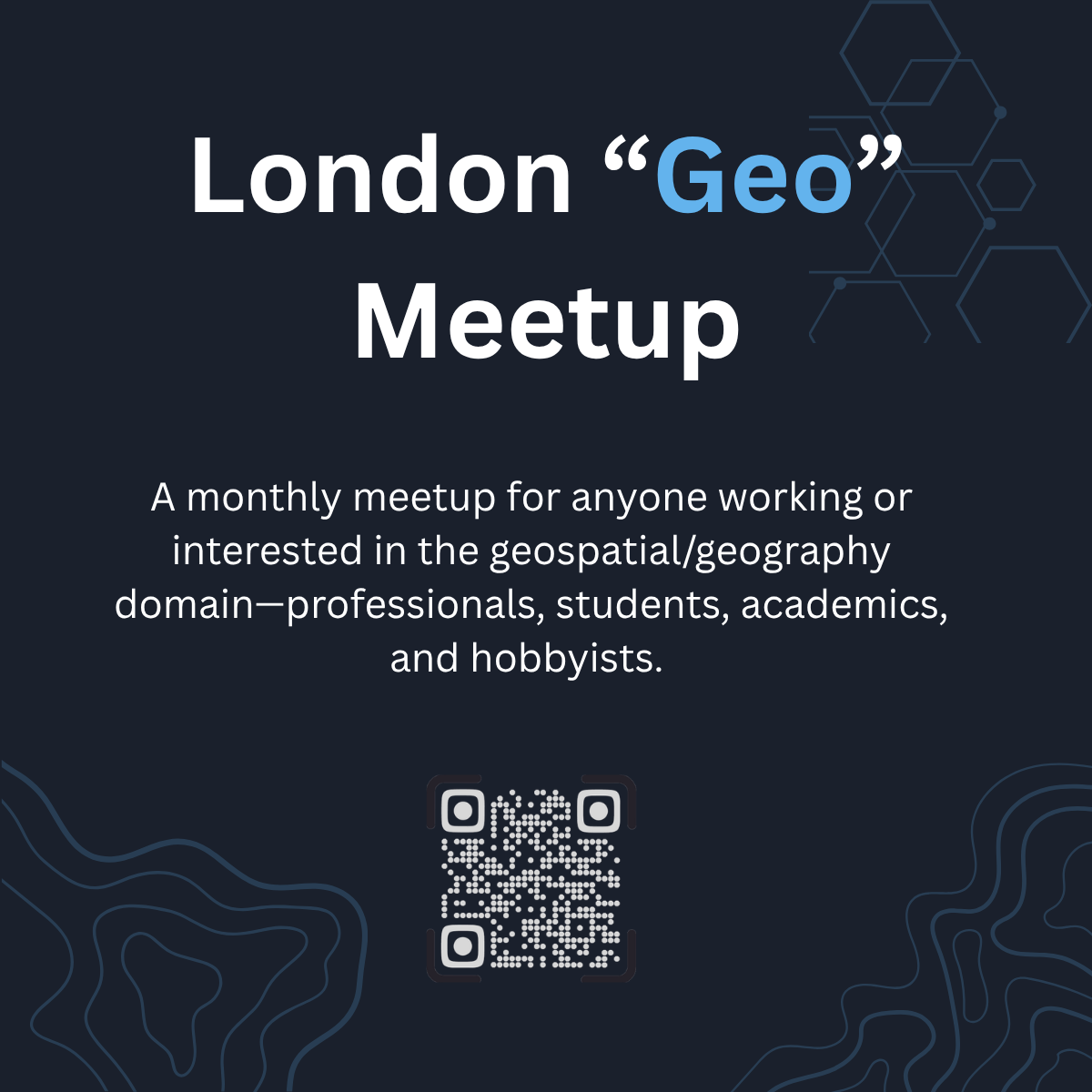
- If someone was to ask, I’d say I work for FOSS4G but it’s not a company. I attend, volunteer and organize as many as FOSS4G events as I can. I volunteer for OSGeo:UK as treasurer, website maintainer, little bit social media and organize monthly London “Geo” meetup (details below).
- Currently exploring the DGGS(Discrete Global Grid System) to build ClimateDataTech quantifying the effects of climate change via earth observation from remote sensing.